


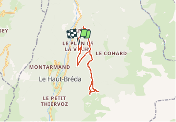

12.2 km | 28 km-effort

User


FREE GPS app for hiking
 SityTrail
IGN / Geographical institutes
SityTrail World
The world is yours!
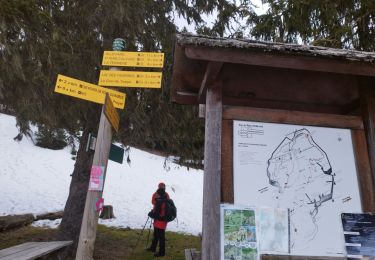
Trail Walking of 11.8 km to be discovered at Auvergne-Rhône-Alpes, Isère, Le Haut-Bréda. This trail is proposed by ranchoup.
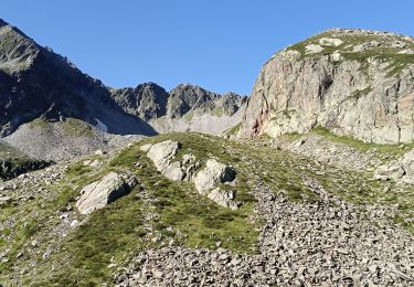
Belle montée un peu raide dans les bois, puis débouché sur la très belle clarière du chalet du Bout et les sapins d'Henri IV, avant de poursuivre en forêt et arriver à la croix du Léat.
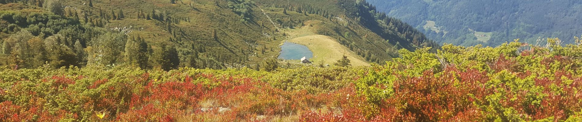
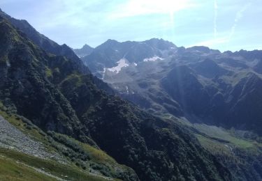
Très belle vue au loin en ce début septembre 2020, et vue dominante sur le lac du Léat que l'on rejoint ensuite, sans oublier auparavnt de s'offrir 80 m de dénivelé en plus pour atteindre la Pierre du Pin (1904 m)


Walking
Walking
Walking
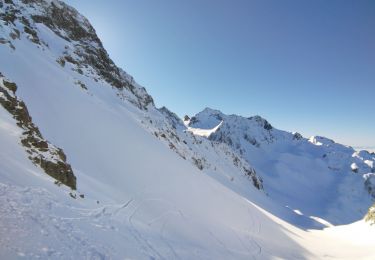
Touring skiing
Walking

Winter sports

Walking
Walking
Walking
joli randonnée